Baseline Groundwater Sampling Program Uses Web-Based Enterprise Geospatial Portal
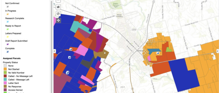
Weston developed a data management system for a confidential oil and gas client seeking baseline characterization of the groundwater in advance of drilling new oil
...Turn complexity into clarity
No matter how complex an information management process may seem, it can be distilled down to the way information assets are structured, processed, and communicated. Weston’s Enterprise Visualization and Analytics (EVA) geospatial professionals, developers, and data scientists understand these fundamentals and leverage the power of data management to deliver seamless, simplified access to complex project information in a way that makes sense to you and your stakeholders.
Weston’s EVA team represents a powerful blend of cutting-edge capabilities and a solid grasp of the technical complexities to drive success for our clients. In fact, our EVA team often deploys to the field alongside our other professionals to gain firsthand knowledge of the data quality objectives.
Our value does not stop with data capture and analysis. Effective sharing of real-time project information is a critical step in decision-making and community involvement. Weston develops flexible, custom data portals that can take the form of web-based geospatial viewers, public-facing websites, document collaboration portals, or any other solution-based customization. Our smart geospatial strategies bring science and technologies together to solve your most complex issues.
We apply these strategies to remove barriers to understanding, increase clarity, and drive critical decisions. Our ability to scale the size and complexity of this work enables us to customize, enhance, and accelerate delivery of the high-quality environmental solutions the Weston brand is built upon.

Weston developed a data management system for a confidential oil and gas client seeking baseline characterization of the groundwater in advance of drilling new oil
...
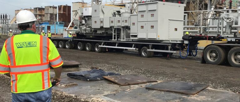
Weston has responded to many hurricanes and tropical storms under our START contracts including Hurricanes Katrina, Rita, Ike, Irma, Maria, Harvey, Super Storm Sandy, and
...
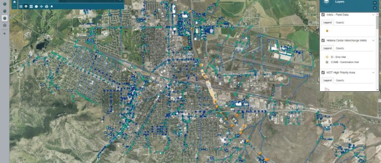
Weston provides technical support to the Montana Department of Transportation (MDT) to improve and implement their statewide Small Municipal Separate Storm Sewer System (MS4) program.
...
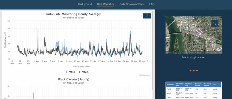
Residents of Southeast Portland sued Bullseye Glass Co. (“Bullseye”), alleging that heavy metal emissions from Bullseye’s production processes contaminated the air in their neighborhood and
...