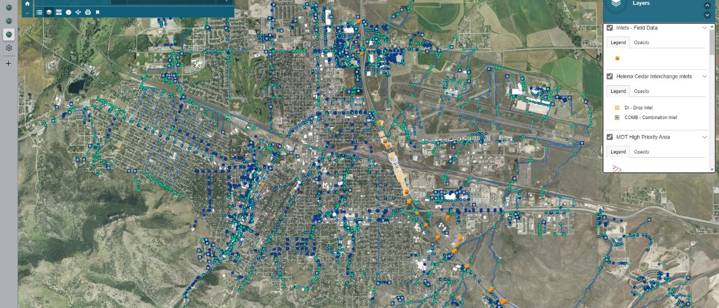
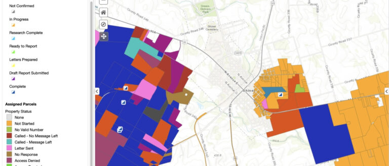
Weston provides technical support to the Montana Department of Transportation (MDT) to improve and implement their statewide Small Municipal Separate Storm Sewer System (MS4) program. To help MDT remain compliant with regulatory requirements, Weston maps stormwater infrastructure features within the MS4 program. Our in-house GIS specialist transforms data so that it meets the requirements under the MS4 Illicit Discharge Detection and Elimination (IDDE) program. The Weston IT/GIS Team identifies and builds field data collection solutions that were built with the latest field mapping geospatial technology – Survey123 for ArcGIS and ArcGIS Field Maps. The applications were designed to be user-friendly so that MDT environmental field staff can be quickly trained to perform field surveys. Weston has developed this digital ecosystem to support MS4 surveys through interlinked cloud-based mobile apps, which allow field data to stream directly to cloud servers. This accessibility gives the field teams the ability to easily QA/QC data using MDT’s central GIS System, and data can also be collected offline in remote areas with limited web access.
