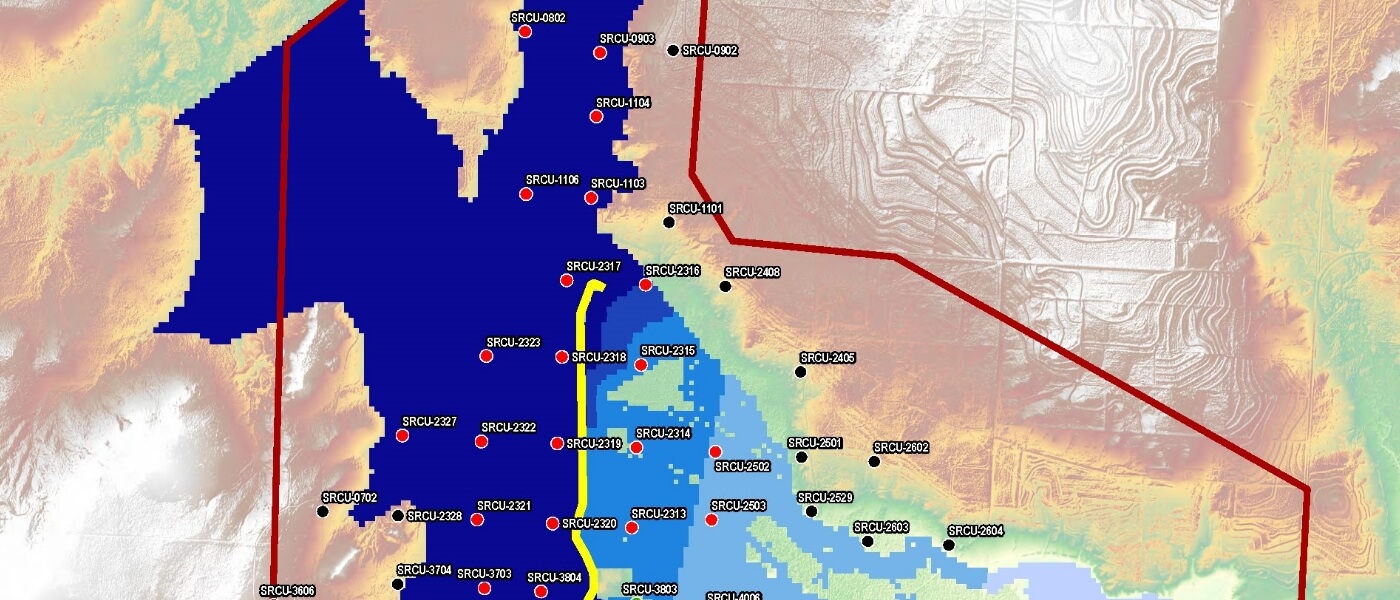
Weston performed hydrologic and hydraulic modeling to determine placement elevations for electrical and mechanical equipment after our client experienced a significant flood event that inundated an historical oilfield where they were contemplating further investments.
The client’s investment would have been to construct new tank batteries and buried gathering lines. The client’s facility was located in a remote area where there was only crude ground surface elevation data available. In order to determine the inundation levels that would cover the client’s operations during the next large storm, Weston contracted a custom LiDAR overflight to obtain high-resolution ground surface elevations over a 30 square mile area. Weston’s in-house hydrogeologists used the USGS’s Hydrologic Engineering Center (HEC)-Hydrologic Modeling System computer model to perform a hydrologic analysis of the project area. Weston then used the LiDAR data and HEC-Riverine Analysis System model to perform a hydraulic analysis of the area. Using the results of these analyses, Weston prepared an inundation map showing the depth of water at each well pad in the event of a 100-year flood event.
Using Weston’s analyses of the hydrology and hydraulics, our client was able to determine the cost impacts of elevating their electrical and mechanical equipment above the modeled water levels. This analysis was a critical consideration in their decision to invest in reentering this oil and gas field into production.
