01.29.2026Weston Re-Establishes New York City Presence with New Office
New location strengthens local support for NYC-area clients and expands capabilities in industrial hygiene, indoor air quality, and hazardous materials consulting
01.28.2026Weston Solutions, Inc. Unveils Revamped GreenGrid® Website

Weston is excited to announce the launch of the newly redesigned website for GreenGrid®, our innovative modular green roof system. The new site offers a refreshed look, streamlined navigation, and easier access to product information, project examples, and technical resources.
01.21.2026Scaling Responsibly: Data Center Challenges and the Role of Environmental Expertise

The digital economy is expanding at a pace few could have predicted. As we began streaming more, computing more, and expecting everything from our phones to our factories to be “smart,” the infrastructure behind it quietly shifted into overdrive.
01.16.2026Novel insights from multivariate analysis of metadata from a large PFAS remedial investigation dataset
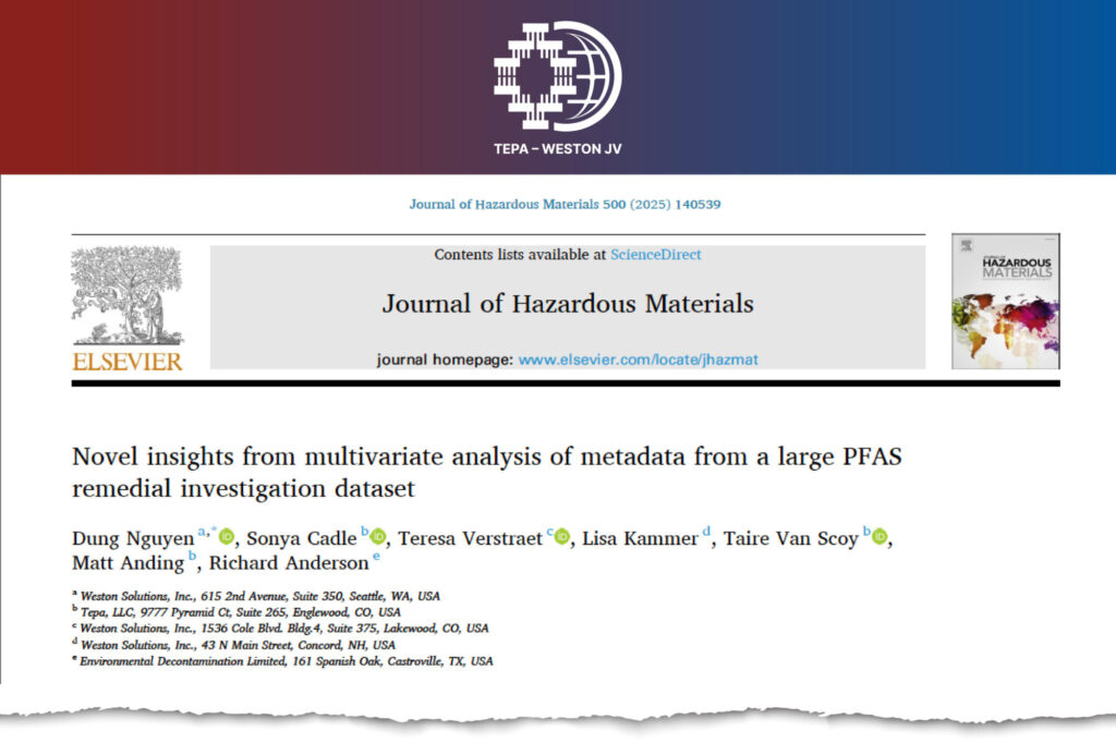
Published in the Journal of Hazardous Materials Authors: Dung Nguyen (Weston Solutions, Inc.), Sonya Cadle (Tepa, LLC), Teresa Verstraet (Weston Solutions, Inc.), Lisa Kammer (Weston Solutions, Inc.), Taire Van Scoy (Tepa, LLC), Matt Anding (Tepa, LLC), Richard (Hunter) Anderson (Environmental Decontamination Limited)
12.31.2025Weston Recognized on ENR’s 2025 Top 200 Environmental Firms List and Named a Top Hazardous Waste Contractor
Weston is proud to announce its inclusion on ENR’s prestigious 2025 Top 200 Environmental Firms list, as well as its designation on ENR’s Top Hazardous Waste Contractors list.
12.11.2025Weston Reaffirms Its Environmental, Health, and Safety Leadership with Expanded Services and Strategic Growth

Weston’s story began with Roy Weston, a pioneer in public health and sanitation who built this company on principles of safeguarding communities and advancing sustainable solutions.
12.04.2025Weston Awarded Multiple Award Environmental Services Contract with USACE Baltimore District
Weston has been awarded a $500M MAES MATOC with a 5-year period of performance and 2 optional years to continue delivering for the USACE Baltimore District.
11.11.2025Weston Mentors International Women in STEM through TechWomen Program
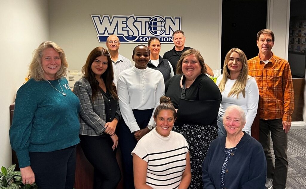
Weston mentored international women in STEM through the TechWomen Program. The program included technical and soft skills training, professional and cultural mentorship, and project pitching for community impact.
10.30.2025Transforming PFAS Management: From Research to Implementation

Zoom Nguyen is an environmental engineer with over 16 years of experience delivering innovative solutions to address both legacy and emerging contaminants. He currently serves as the Technical Director of Engineering and PFAS Subject Matter Expert at Weston.