The USPS ONP provides a critical function for USPS in planning, preparing, and responding to emergencies. Weston was awarded a contract to provide GIS analysis in support of the ONP mission in 2012. ONP needed timely and dependable GIS support for modelling and analysis both pre- and post-impact during emergency response.
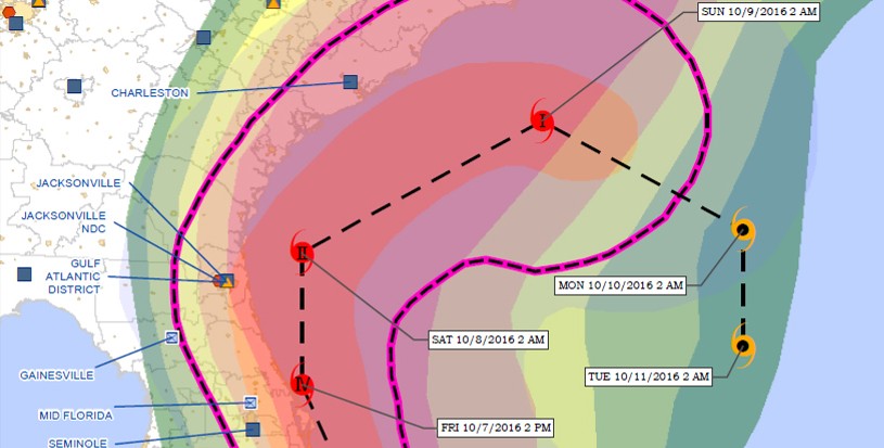
Under this contract, Weston provides critical GIS analysis during emergencies to help USPS make mission-critical decisions. Weston developed GIS products to help model the impact of natural disasters on the USPS facility infrastructure to ensure operations can be restored in a timely manner post-impact.
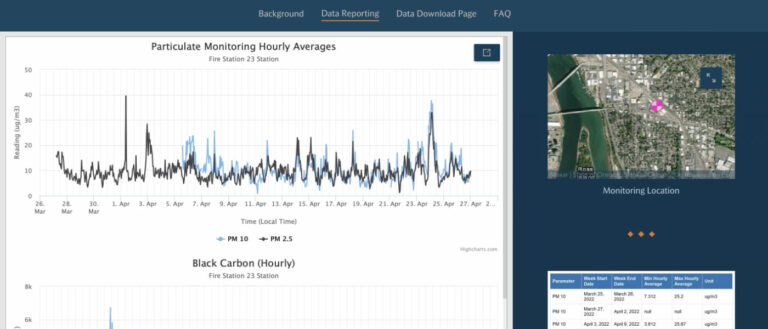
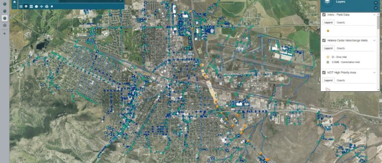
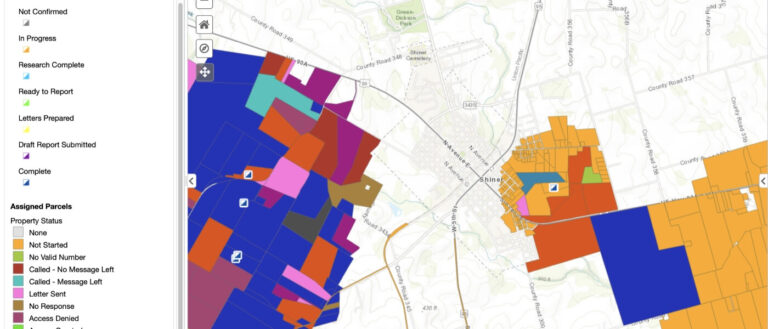
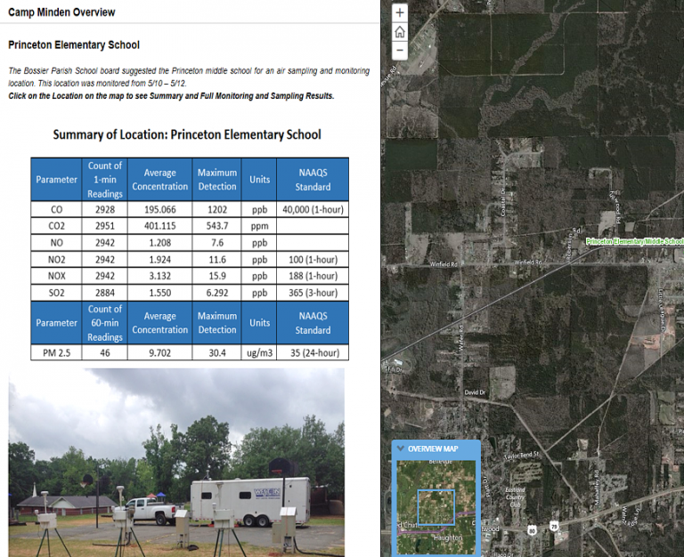
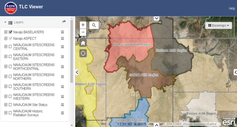
Our team developed an ONP-specific GIS portal that allows the USPS national and regional managers on-demand interaction of data layers for viewing spatial relations alongside local managers. The portal has the capability to self-produce maps and can utilize built-in tools to analyze emergency preparedness. The GIS Portal also provides a nationally consistent planning, preparedness, and response reporting infrastructure that allows for flexibility and time-critical custom reporting tools to be utilized during time-critical actions; allows for integrated and consistent reporting from response to response so decision makers have a high degree of confidence in the reports provided; provides a Common Operational Picture and consistent set of symbology and tools no matter the incident location.
